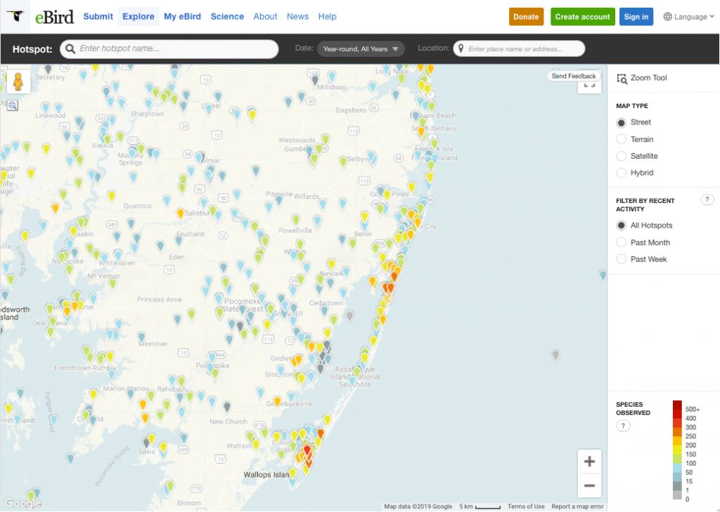
Birding Hotspot Map
A real-time, online checklist program, eBird has revolutionized the way that the birding community reports and accesses information about birds. Launched in 2002 by the Cornell Lab of Ornithology and National Audubon Society, eBird provides rich data sources for basic information on bird abundance and distribution at a variety of spatial and temporal scales.
Click on the map of Worcester County eBird hotspots on the map below. Click here to review the 388 species that have been reported to eBird from Worcester County!

This page sponsored by:
